Telecom Industry Support

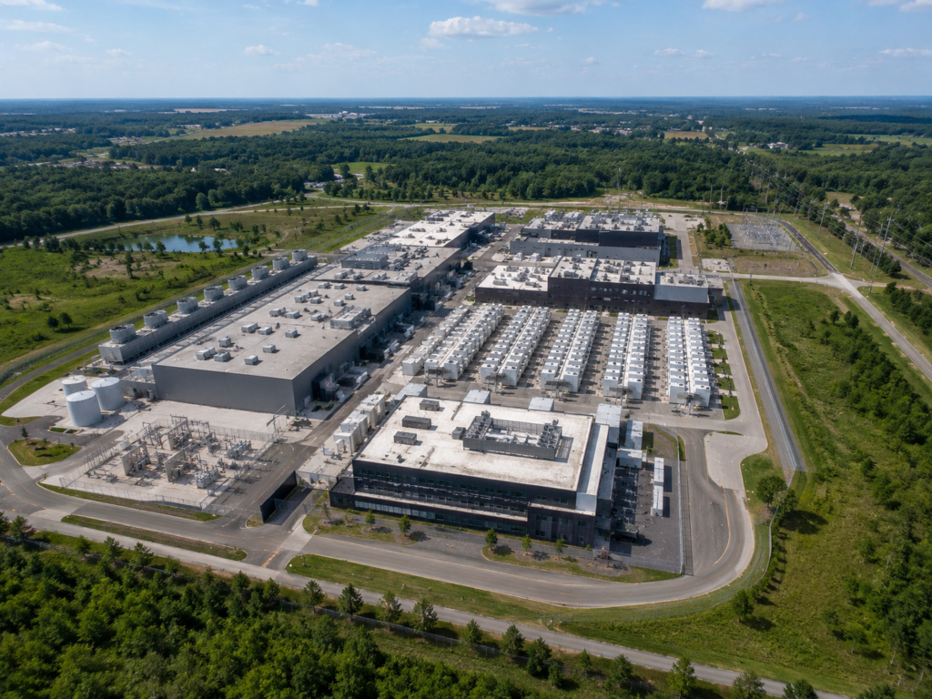
Soaring Nimbus helps telecom operators, infrastructure managers, and engineering teams capture reliable aerial data for inspections, mapping, and ongoing asset visibility.

Core work

Built for Telecom Operations

Our drone programs are designed around the field realities of telecom infrastructure, helping teams document assets faster, reduce climb requirements, and improve decision-making with current visual data.
Tower Inspections

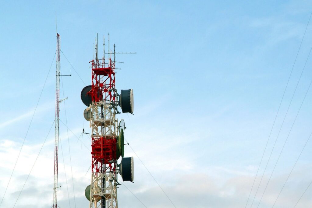
Support maintenance and engineering teams with detailed aerial imagery of towers, antennas, mounts, and surrounding site conditions.

View service

Aerial Progress Monitoring

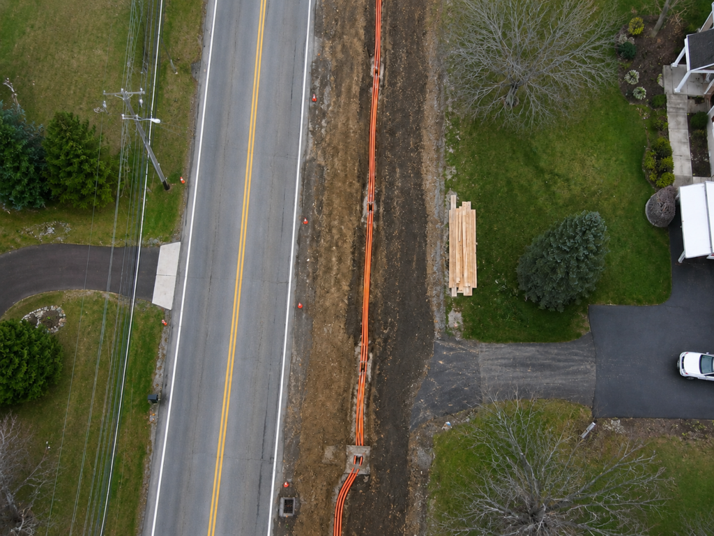
Drone-based progress monitoring offers telecommunications operators and project managers a dynamic, highly accurate method for tracking new tower builds, site upgrades, and fiber-to-the-premise (FTTP) rollouts

View service

Asset Monitoring

Track infrastructure condition over time with repeatable image capture that supports reporting, planning, and operational visibility.

View service

We support telecom stakeholders who need dependable aerial documentation, safer inspection workflows, and clear visual reporting across distributed infrastructure.

Network Operators

Gain current site imagery to support maintenance planning, vendor coordination, and network reliability initiatives.

Infrastructure Managers

Improve oversight across multiple assets with consistent visual records that help prioritize field activity and capital planning.

Engineering Teams

Use aerial perspectives to review structures, surrounding conditions, and project requirements before crews mobilize.

Field Service Partners

Equip technicians and contractors with better site context to streamline visits, reduce uncertainty, and document completed work.

Why it matters

A Better View for Critical Assets
Safer data collection

Reduce the need for manual climbs and capture visual information from efficient aerial vantage points.

Faster site understanding

Give decision-makers clear imagery that helps them assess conditions, plan work, and communicate next steps.

Repeatable reporting

Create consistent documentation across towers and related infrastructure for ongoing monitoring and project records.

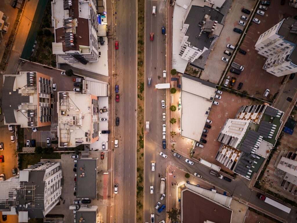
Aerial view street, streets and residential buildings at night time.
Aerial view street, streets and residential buildings at night time. Long exposure drone shot. Street lamps and headlights appear. Yellow light dominates.