
Telecom Services
Telecom Site Inspections
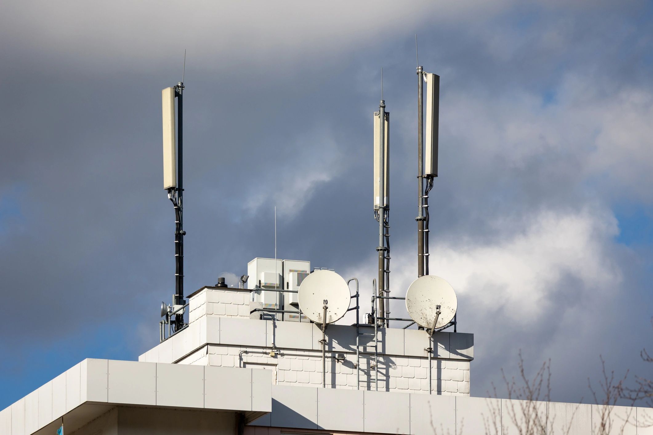
Detailed aerial visual inspections and documentation for telecom sites, rooftop equipment, small cells, compounds, and network infrastructure.
Why it matters
Better decisions with current site data
How Projects Move
A streamlined workflow keeps data collection efficient and project communication clear from kickoff through delivery.
01
Scope the Site
We review project goals, site conditions, and required outputs to align flight planning with your operational needs.
02
Capture Data
Our drone operations collect targeted imagery and visual documentation with a focus on safety, efficiency, and consistency.
Soaring Nimbus helps telecom teams gain faster visual insight with less disruption to field operations.
03
Review Findings
Collected visuals are organized to support inspection review, monitoring analysis, and infrastructure decision-making.
04
Support Next Steps
We help your team move from raw imagery to actionable project planning, maintenance prioritization, and stakeholder reporting.